Why you'll love it
- Three eras of waterfront planning in one walk: 1930s monument, 1980s shipyard conversion, 2000s art quarter
- Inside City Hall on Saturdays: the murals and the hall where the Nobel Peace Prize is awarded
- How Aker Brygge kept its shipyard halls, and what that choice did for the city
- Renzo Piano's Astrup Fearnley Museum: timber, canals and a glass sail roof
- The sculpture park, the little beach and the best sunset spot in the city centre
- Guided by a trained urban planner, in English or French
The route, minute by minute
City Hall → the courtyard → Rådhusplassen → Aker Brygge → the bridge → Tjuvholmen and the sculpture park · about 2.5 km, flat
When: Sat 10:00 · Mon–Fri evenings 16:30. Times below are for the first start of the day; later starts follow the same route. On Saturdays we go inside City Hall (open 09:00–16:00). Evening walks read its façades and courtyard, then follow the harbour into the sunset at Tjuvholmen.
-
Oslo City Hall
Meeting pointArnstein Arneberg and Magnus Poulsson's twin brick towers, built from 1931 to 1950 with a pause for the war, on the site of the poor harbour quarter of Pipervika. Inside, the great hall's murals by Henrik Sørensen and Alf Rolfsen, and the room where the Nobel Peace Prize is awarded every 10 December.
Included: Coffee
-
The courtyard and its friezes
150 m · 2 minAround the courtyard, Dagfin Werenskiold's carved and painted wooden friezes of Norse myths: a public building that tells the nation's stories on its walls. Why 1930s Norway wanted its city hall to face the fjord.
-
Rådhusplassen
200 m · 3 minThe square that became a front door to the sea. How moving the traffic underground gave the city its harbour front back, the first step of the Fjord City.
-
Aker Brygge
400 m · 6 minThe Akers mechanical workshop built ships here from 1854 until it closed in 1982. The first phase of the new district opened in 1986: some halls were demolished, the big workshop halls were kept and converted. Today it is one of the most visited places in Norway. We read what worked, and what a planner would do differently now.
-
The bridge to Tjuvholmen
500 m · 7 minTjuvholmen, the 'Thieves' Islet', was a working dock until the 2000s. Niels Torp's winning plan of 2002 put art and water at its heart: canals, small squares, public access to the edge everywhere.
-
Astrup Fearnley Museum and the sculpture park
300 m · 4 minRenzo Piano's museum, opened in 2012: three timber-clad buildings under one curved glass roof, carried on slender masts like rigging, a canal running through. We end in the sculpture park by the little beach, looking out to the fjord.
Included: Harbour map and a sketch stop
Your guide · Urban planner and founder of Maison Oslo · English · Français
Every walk is prepared with the makers, curators and sources behind each stop. Ask anything, in English or French.
Good to know
Do I need to know about architecture?
Not at all. It is a story of how a city decides to change its waterfront, told on the spot.
Do we go inside City Hall?
On Saturday mornings, yes (entry is free). Evening walks start after City Hall closes, so we read it from the outside and the courtyard.
Can we add the museum?
Yes: the Astrup Fearnley Museum is at the end of the walk. We can arrange tickets for you to stay on.
In French?
Yes. Every walk runs in English or French: choose when you book.
Read before you go
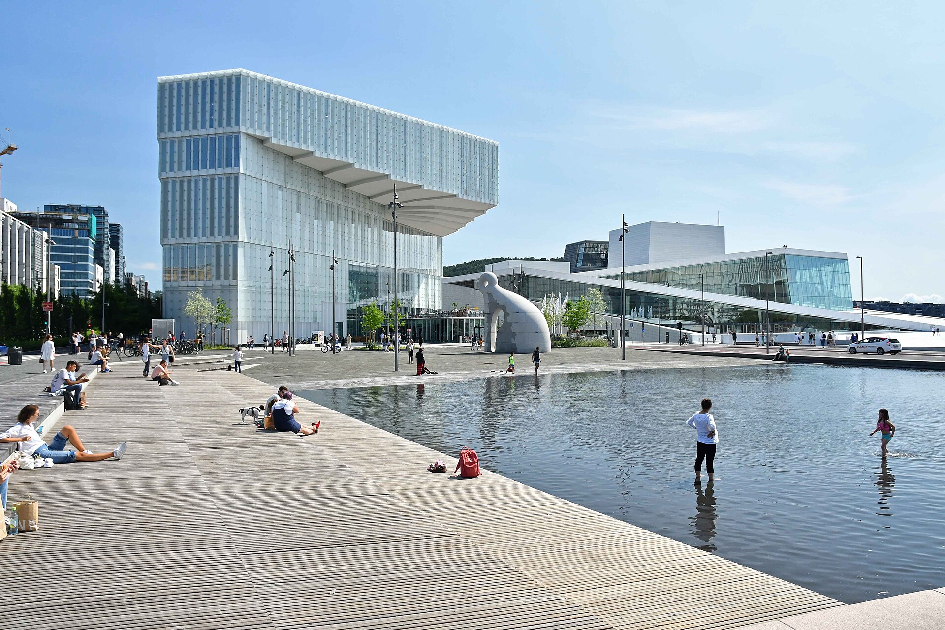
From motorway to fjord: how Oslo rebuilt its waterfront in 25 years
In 2000 Oslo decided to give its harbour back to people. The Opera, Deichman, MUNCH and the Barcode followed. An architect's guide to the Fjord City, and what is still being built.
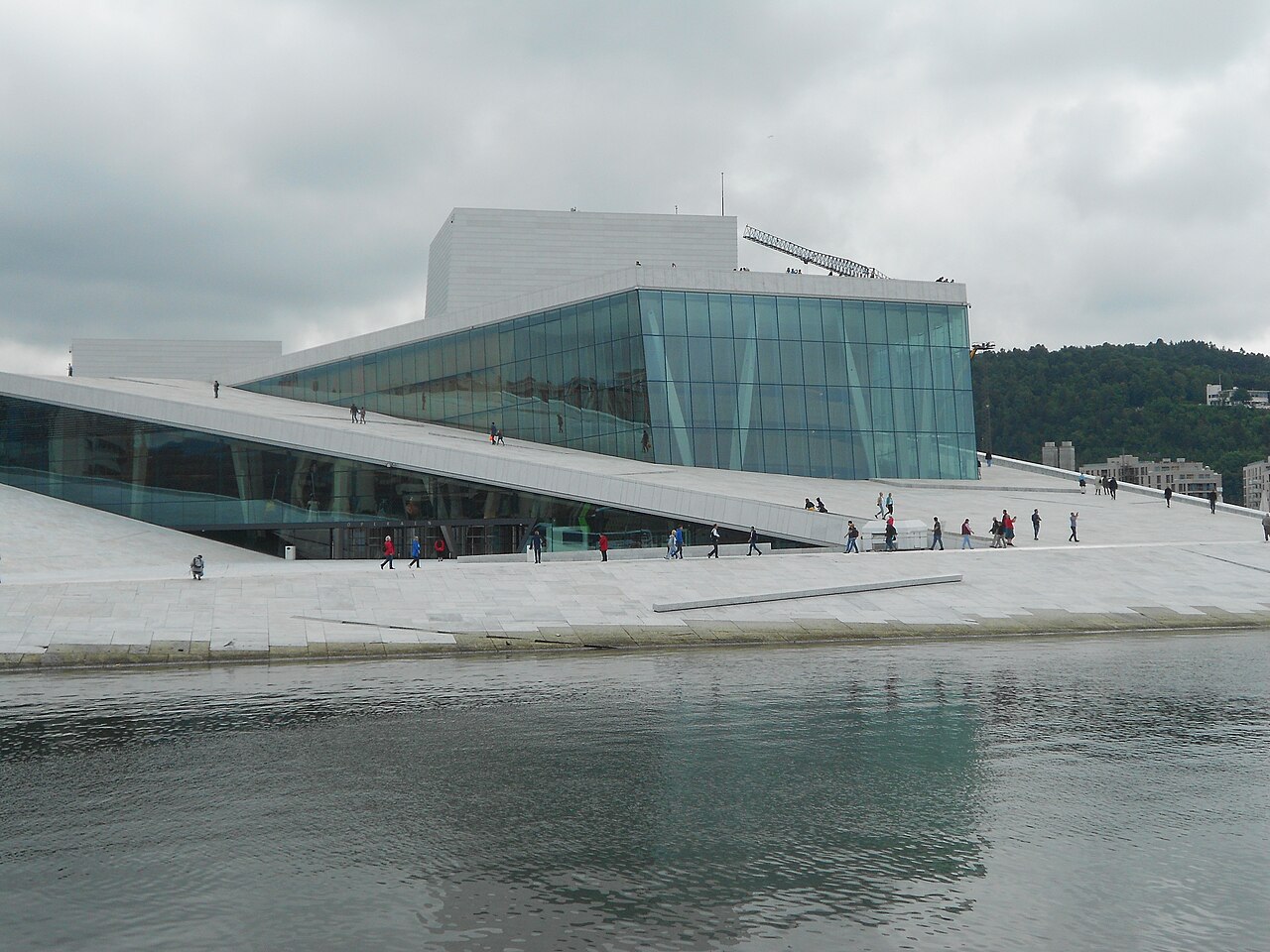
Can you walk on the Oslo Opera House roof? Yes, and here's how to do it well
The Oslo Opera House roof is free and open all day and night. An architect's guide to when to go, what you're looking at from the top, and what most visitors miss.